| Annual program and technical progress report |
-
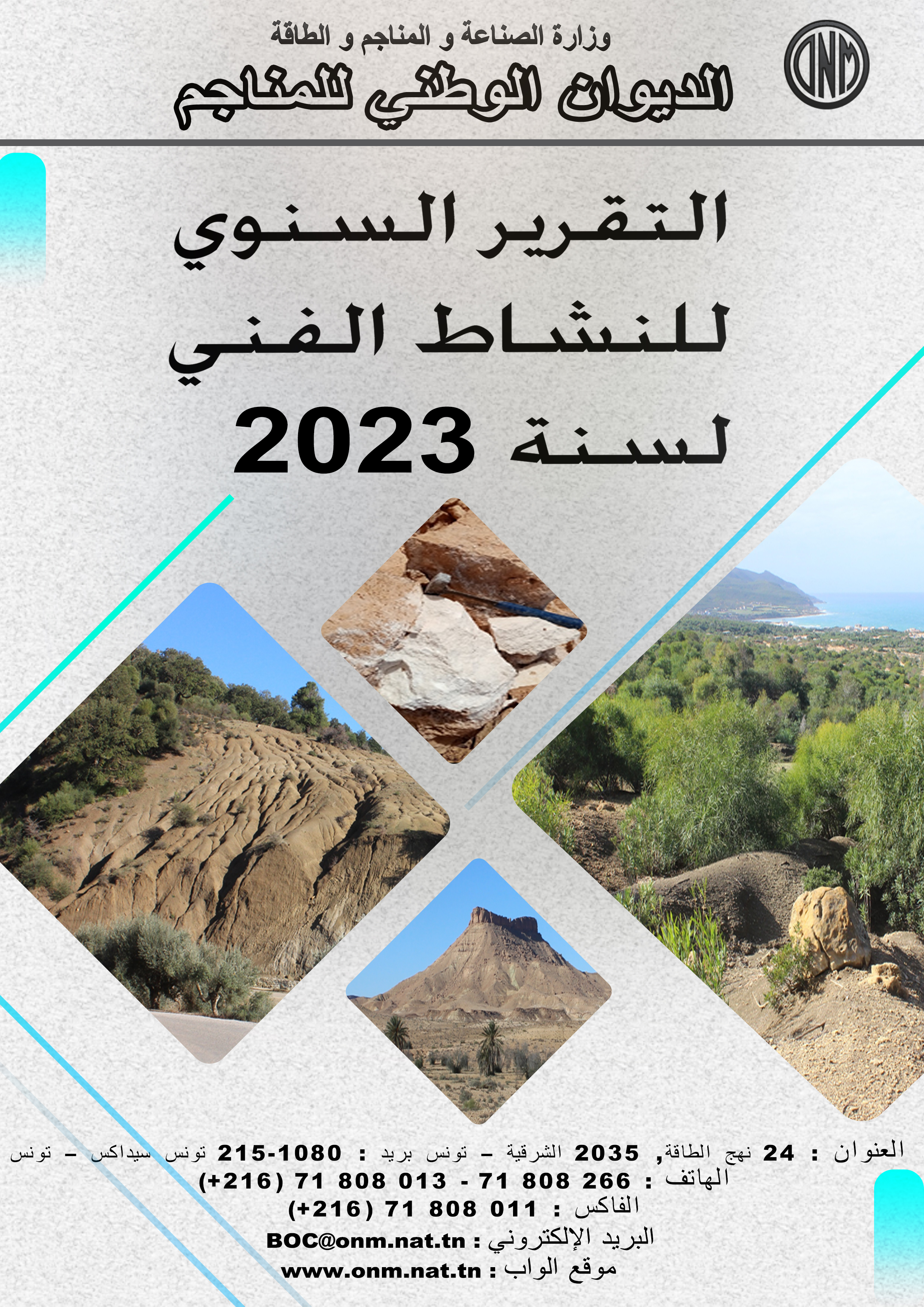
Activity Report 2023
-

Technical Program 2024
|
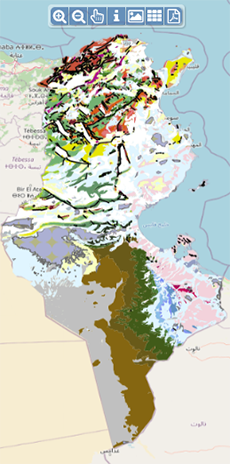
| Geocatalogue |
|
| Invitation to
tender |
-

REALIZATION OF THE TRAINING PLAN FOR THE YEAR 2022
-

ACQUISITION OF TWO SERVICE CARS
-
ACQUISITION OF GEORADAR EQUIPMENT AND ITS ACCESSORIES
|
|
Invest in Tunisia |

|
|
|
|
|
::
Documentation and Editions
>>
Research library
|
| |
|
[
Search by author
]
[
Search keyword
]
[
Search by index
]
[
Search by category
]
|
title of the reference :
|
Témoins d'un niveau-marin holocène supérieur à l'actuel en Tunisie méridionale.
|
|
Publication Date:
|
1980
|
|
Author :
|
Dalongeville Remy, Paskoff Roland, Sanlaville Paul, Thommeret Jean
|
|
Catalogue type :
|
Livre
|
|
Catalogue reference :
|
T.290, N°4 (FRA) C. R. Acad. Sci. T.290, N°4 Témoins d'un niveau-marin holocène supérieur à l'actuel en Tunisie méridionale. La région côtière de Tunisie, située entre Jerba et la frontière libyenne, fournit de nombreux témoins (plage et beach-rock associé, platier rocheux)d'un rivage holocène supérieur de 80 cm à l'actuel et daté au (14)C d'environ 2700 ans. Plutôt qu'une oscillation eustatique, ils indiquent un leger soulèvement du littoral de l'extrême-Sud de la Tunisie. paléorelief ; plage ; beach rock ; exhaussement ; Quaternaire marin ; Holocène ; Formation Réjiche ; Formation Sidi Salem ; Tunisie ; Tunisie Sud Orientale ; Jerba ; Zarzis ; Bhirat el Bibane ; bhirat Bou Grara ; Jorf ; golfe de Gabès Paskoff Roland Sanlaville Paul Thommeret Jean Dalongeville Remy Géomorphologie, Pédologie
|
|
Indexation decimale :
|
Géomorphologie, Pédologie
|
|
Keywords :
|
paléorelief ; plage ; beach rock ; exhaussement ; Quaternaire marin ; Holocène ; Formation Réjiche ; Formation Sidi Salem ; Tunisie ; Tunisie Sud Orientale ; Jerba ; Zarzis ; Bhirat el Bibane ; bhirat Bou Grara ; Jorf ; golfe de Gabès
|
|
Summary :
|
La région côtière de Tunisie, située entre Jerba et la frontière libyenne, fournit de nombreux témoins (plage et beach-rock associé, platier rocheux)d'un rivage holocène supérieur de 80 cm à l'actuel et daté au (14)C d'environ 2700 ans. Plutôt qu'une oscillation eustatique, ils indiquent un leger soulèvement du littoral de l'extrême-Sud de la Tunisie.
|
|
Exemplaries :
|
TU1035
|
|
|
|
|
|
|
|


