| Annual program and technical progress report |
-

Activity Report 2023
-

Technical Program 2024
|
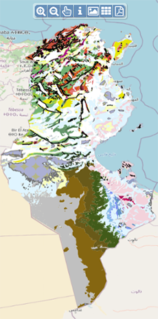
| Geocatalogue |
|
| Invitation to
tender |
-

REALIZATION OF THE TRAINING PLAN FOR THE YEAR 2022
-

ACQUISITION OF TWO SERVICE CARS
-
ACQUISITION OF GEORADAR EQUIPMENT AND ITS ACCESSORIES
|
|
Invest in Tunisia |

|
|
|
|
|
::
Documentation and Editions
>>
Research library
|
| |
|
[
Search by author
]
[
Search keyword
]
[
Search by index
]
[
Search by category
]
|
title of the reference :
|
Combined use of hydraulic and electrical properties of an aquifer in a geostatistical estimation of transmissivity.
|
|
Publication Date:
|
1988
|
|
Author :
|
Shakeel A., De Marsily G., Talbot
|
|
Catalogue type :
|
Livre
|
|
Catalogue reference :
|
Vol. 26, N°1 (USA) Ground-Water Vol. 26, N°1 Combined use of hydraulic and electrical properties of an aquifer in a geostatistical estimation of transmissivity. Utilisation combinée des propriétés hydrauliques et électriques d'un aquifère dans l'estimation de la transmissivité. Many previous attempts have been made to establish an empirical relation between the electrical and hydraulic properties of aquifers.However,only regression models between transmissivity or permeability and a few electrical parameters have been used on the basis of the available pairs of data.Kriging,a geostatistical technique,estimates a regionalized variable at any point in space,and multivariate geostatistical techniques allow one to use several variables together to estimate any spatial parameter.One such method,cokriging,is used to estimate the transmissivity based not only on measurement of transmissivity,but also on measurements of specific capacity and electrical transverse resistance.The studied aquifer is situated in the medjerda valley in Tunisia were very few data on transmissivity and specific capacity are available,but resistivity data are relatively abundant.It is shown that with the geostatistical technique,one can :(1)use several electrical or elastic properties,which are easily measured,in the estimation of desired parameter without establishing any empirical relation,and(2)make the estimation at any point where none of these properties has been sampled and,at the same time obtain a variance of the estimation error.The method is also compared with the usual regression method.
bibliogr. propriété électrique ; hydraulique ; nappe eau ; transmissivité ; géostatistique ; perméabilité ; conductivité hydraulique ; levé électrique ; courant électrique ; équation mathématique ; coefficient stockage ; krigeage ; Tunisie ; Tunisie Nord Occidentale ; Tunisie Nord Orientale ; O. Medjerda Haute Vallée De Marsily G. Talbot Shakeel A. géophysique
|
|
Indexation decimale :
|
géophysique
|
|
Keywords :
|
propriété électrique ; hydraulique ; nappe eau ; transmissivité ; géostatistique ; perméabilité ; conductivité hydraulique ; levé électrique ; courant électrique ; équation mathématique ; coefficient stockage ; krigeage ; Tunisie ; Tunisie Nord Occidentale ; Tunisie Nord Orientale ; O. Medjerda Haute Vallée
|
|
Summary :
|
Many previous attempts have been made to establish an empirical relation between the electrical and hydraulic properties of aquifers.However,only regression models between transmissivity or permeability and a few electrical parameters have been used on the basis of the available pairs of data.Kriging,a geostatistical technique,estimates a regionalized variable at any point in space,and multivariate geostatistical techniques allow one to use several variables together to estimate any spatial parameter.One such method,cokriging,is used to estimate the transmissivity based not only on measurement of transmissivity,but also on measurements of specific capacity and electrical transverse resistance.The studied aquifer is situated in the medjerda valley in Tunisia were very few data on transmissivity and specific capacity are available,but resistivity data are relatively abundant.It is shown that with the geostatistical technique,one can :(1)use several electrical or elastic properties,which are easily measured,in the estimation of desired parameter without establishing any empirical relation,and(2)make the estimation at any point where none of these properties has been sampled and,at the same time obtain a variance of the estimation error.The method is also compared with the usual regression method.
|
|
Exemplaries :
|
TU659
|
|
|
|
|
|
|
|


