| Annual program and technical progress report |
-

Activity Report 2023
-

Technical Program 2024
|
| Geocatalogue |

|
| Invitation to
tender |
-

REALIZATION OF THE TRAINING PLAN FOR THE YEAR 2022
-

ACQUISITION OF TWO SERVICE CARS
-

ACQUISITION OF GEORADAR EQUIPMENT AND ITS ACCESSORIES
|
|
Invest in Tunisia |
|
|
|
|
|
::
Documentation and Editions
>>
Research library
|
| |
|
[
Search by author
]
[
Search keyword
]
[
Search by index
]
[
Search by category
]
|
title of the reference :
|
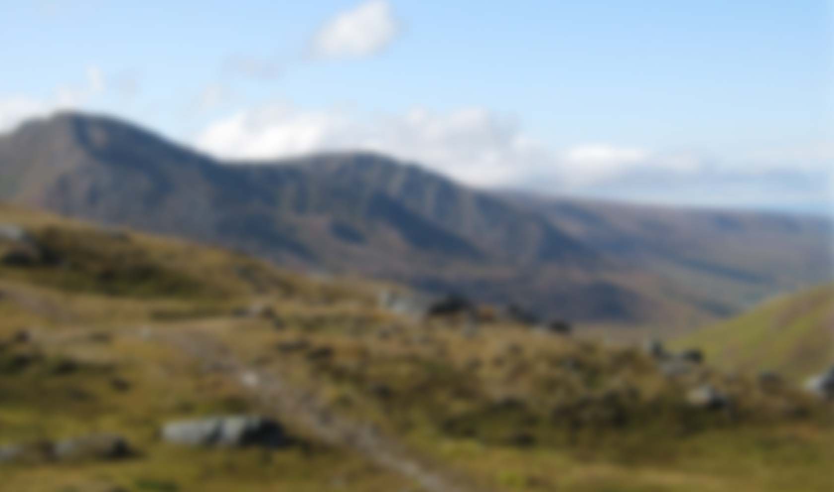
Optimisation of groundwater resources inventories by integrating satellite remote sensing, airphoto interpretation, field data collection, geophysical surveys and drilling: the example of the Kasserine Basin (Tunisia).
|
|
Publication Date:
|
1984
|
|
Author :
|
De Hoop Dirk, Voute Caesar
|
|
Catalogue type :
|
Livre
|
|
Catalogue reference :
|
Vol.27, N°8 27e Congr. Géol. Internatl. Vol.27, N°8 Optimisation of groundwater resources inventories by integrating satellite remote sensing, airphoto interpretation, field data collection, geophysical surveys and drilling: the example of the Kasserine Basin (Tunisia). Abstracts of the 27th Internatl. Geol. Congr.- Moscow eau souterraine ; télédetection ; ERTS LANDSAT ; hydrologie ; Tunisie ; Tunisie Centrale ; Kasserine Voute Caesar De Hoop Dirk Hydrogéologie, Hydrologie, Environnement
|
|
Indexation decimale :
|
Hydrogéologie, Hydrologie, Environnement
|
|
Keywords :
|
eau souterraine ; télédetection ; ERTS LANDSAT ; hydrologie ; Tunisie ; Tunisie Centrale ; Kasserine
|
|
Summary :
|
|
|
Exemplaries :
|
TU894
|
|
|
|
|
|
|
|