| Annual program and technical progress report |
-
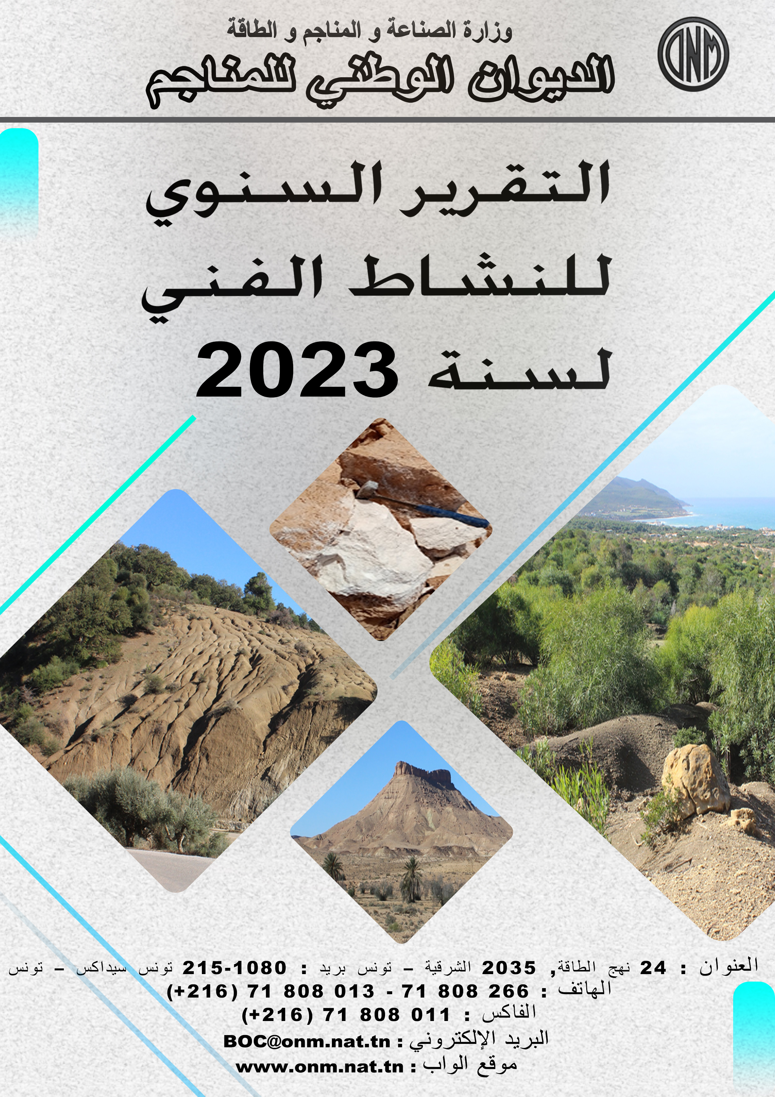
Activity Report 2023
-

Technical Program 2024
|
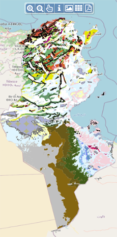
| Geocatalogue |
|
| Invitation to
tender |
-

REALIZATION OF THE TRAINING PLAN FOR THE YEAR 2022
-

ACQUISITION OF TWO SERVICE CARS
-
ACQUISITION OF GEORADAR EQUIPMENT AND ITS ACCESSORIES
|
|
Invest in Tunisia |

|
|
|
|
|
::
Documentation and Editions
>>
Research library
|
| |
|
[
Search by author
]
[
Search keyword
]
[
Search by index
]
[
Search by category
]
|
title of the reference :
|
Geophysical and Geological modelling of the Hasdrubal accumulation, Gulf of Gabes, Tunisia.
|
|
Publication Date:
|
1998
|
|
Author :
|
Lynch Sinead, Berckett D., Foster Phil, Jackson Helen, Braithwaite Karen
|
|
Catalogue type :
|
Livre
|
|
Catalogue reference :
|
Geophysical and Geological modelling of the Hasdrubal accumulation, Gulf of Gabes, Tunisia. The Asdrubal accumulation is located within the BG operated Amilcar Permit in the Gulf of Gabes. Gas and condensate are reservoired in the nummilitic facies of the ypresian Metlaoui formation. Whilst not being fully understood at this stage, the trapping mechanism is believed to be combined structural- stratigraphic with a northwest, up-dip pinchout of the reservoir. The aim of producing an integrated reservoir model was two-fold. Firstly, to map the reservoir limits and secondly, to provide stochatic input for simulation modelling and sensitivity studies, especially to test the suitability of draining the reservoir using horisental wells. AVO and inversion studies of the 3D seismic data volume were carried out in an attempt to map the up-dip pinchout of the reservoir as well as to define the arial variations of reservoir architecture. Core and wireline studies provided the following simplified facies breakdown used for modelling : nummulite sheets, nummuloclastics and phosphatic mudstones. No clear correlation is apparent between individual facies types, porosity and permeability. However, there appears to be good correlation between wells, allowing the reservoir to be layered with a reasonable degree of confidence. The reservoir was modelled using STORM, a stochastic reservoir modelling package supplied by Smedving Technologies Inc. The nummulite banks, phosphatic mudstones and shales were modelled as rectangular sheets using a general marked point process with nummuloclastics forming the background facies. Statistical analysis of the porosity and permiability showed a hight coefficient of variation for each layer and for the purposes of the petrophysical model, data was taken from the overage of all zones with the exception of the high permiability layers which were modelled separately. These studies have given increased confidence in the subsurface model, and since the STORM reservoir model can easily accomodate new data, have allowed feasibility and engineering studies to be conducted in parallel with the appraisal drilling.
profil sismique ; Yprésien ; modèle physique ; porosité ; diagraphie ; perméabilité ; Tunisie ; Tunisie Sud Orientale ; Golfe de Gabès ; Permis Asdrubal Lynch Sinead Berckett D. Foster Phil Jackson Helen Braithwaite Karen Géophysique Appliquée
|
|
Indexation decimale :
|
Géophysique Appliquée
|
|
Keywords :
|
profil sismique ; Yprésien ; modèle physique ; porosité ; diagraphie ; perméabilité ; Tunisie ; Tunisie Sud Orientale ; Golfe de Gabès ; Permis Asdrubal
|
|
Summary :
|
The Asdrubal accumulation is located within the BG operated Amilcar Permit in the Gulf of Gabes. Gas and condensate are reservoired in the nummilitic facies of the ypresian Metlaoui formation. Whilst not being fully understood at this stage, the trapping mechanism is believed to be combined structural- stratigraphic with a northwest, up-dip pinchout of the reservoir. The aim of producing an integrated reservoir model was two-fold. Firstly, to map the reservoir limits and secondly, to provide stochatic input for simulation modelling and sensitivity studies, especially to test the suitability of draining the reservoir using horisental wells. AVO and inversion studies of the 3D seismic data volume were carried out in an attempt to map the up-dip pinchout of the reservoir as well as to define the arial variations of reservoir architecture. Core and wireline studies provided the following simplified facies breakdown used for modelling : nummulite sheets, nummuloclastics and phosphatic mudstones. No clear correlation is apparent between individual facies types, porosity and permeability. However, there appears to be good correlation between wells, allowing the reservoir to be layered with a reasonable degree of confidence. The reservoir was modelled using STORM, a stochastic reservoir modelling package supplied by Smedving Technologies Inc. The nummulite banks, phosphatic mudstones and shales were modelled as rectangular sheets using a general marked point process with nummuloclastics forming the background facies. Statistical analysis of the porosity and permiability showed a hight coefficient of variation for each layer and for the purposes of the petrophysical model, data was taken from the overage of all zones with the exception of the high permiability layers which were modelled separately. These studies have given increased confidence in the subsurface model, and since the STORM reservoir model can easily accomodate new data, have allowed feasibility and engineering studies to be conducted in parallel with the appraisal drilling.
|
|
Exemplaries :
|
-
|
|
|
|
|
|
|
|


