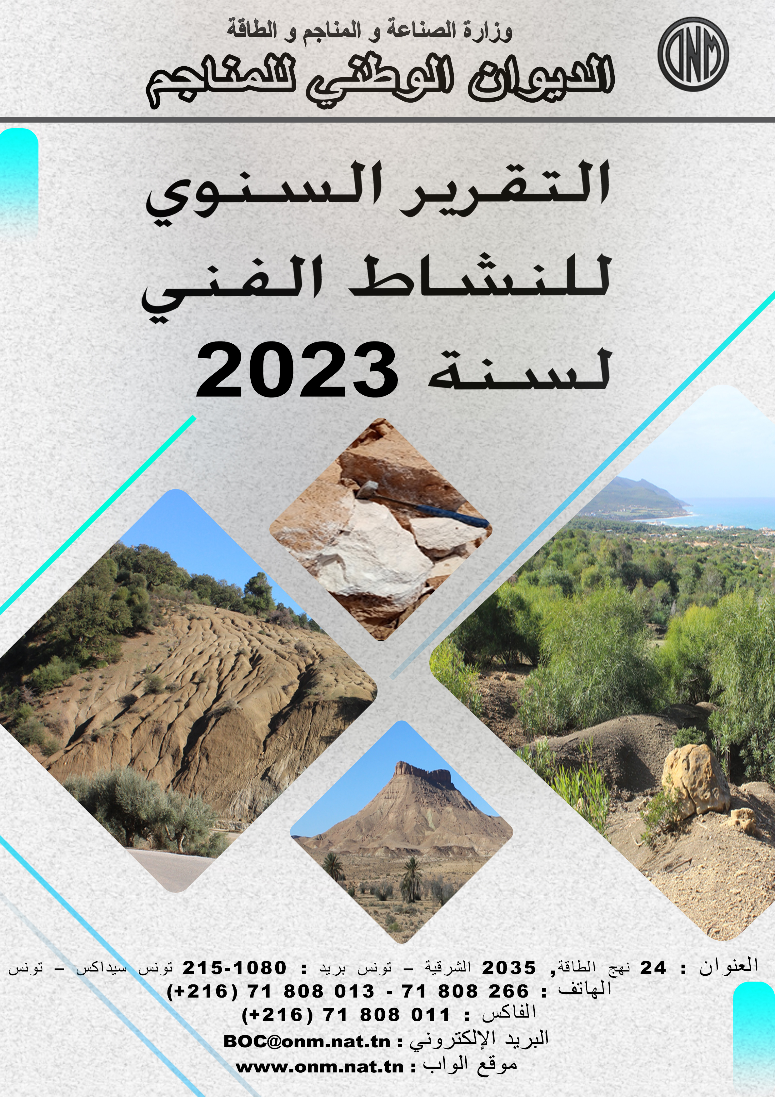
| Programme annuel & rapport de suivi technique |
-

Rapport d'activités 2023
-

Programmes Techniques 2024
|
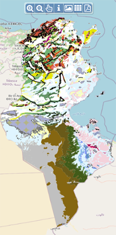
| Géocatalogue |

|
| Appels d'Offres |
-

ACQUISITION DES TICKETS RESTAURANT POUR LE PERSONNEL DE L’ONM
-

CHOIX D’UNE COMPAGNIE D’ASSURANCE
-

ACQUISITION ET MISE EN ŒUVRE D’UN PROGICIEL DE GESTION INTEGRE
|
|
Investir en Tunisie |


|
|
|
|
|
::
Documentation and Editions
>>
Research library
|
| |
|
[
Search by author
]
[
Search keyword
]
[
Search by index
]
[
Search by category
]
|
title of the reference :
|
Evidence for Triassic salt domes in the Tunisian Atlas from gravity and geological data.
|
|
Publication Date:
|
2005
|
|
Author :
|
Jallouli Chokri, Chikhaoui Mongi, Braham Ahmed, Turki Mohamed Moncef, Mickus K., Benassi Ramdhane
|
|
Catalogue type :
|
Livre
|
|
Catalogue reference :
|
Vol.396 (USA) Tectonophysics Vol.396 Evidence for Triassic salt domes in the Tunisian Atlas from gravity and geological data. "Detailed gravity data were analyzed to constrain two controversial geological models of evaporitic structures within the Triassic diapiric zone (Triassic massifs of Jebel Debadib and Ben Gasseur) of the northern Tunisian Atlas. Based on surface observations, two geological models have been used to explain the origin of the Triassic evaporitc bodies : (1) salt dome/diapiric structure or (2) a ""salt glacier"". The gravity analysis included the construction of a complete Bouguer gravity anomaly map, horizental gravity gradient (HGG) map and two and a half-dimensional (2,5 D) forward models. The complete Bouguer gravity anomaly map shows a prominent negative anomaly over the Triassic evaporite outcrops. The HGG map showed the location of the lateral density changes along northeast structural trends caused by Triassic/Cretaceous lithological differences. The modeling of the complete Bouguer gravity anomaly data favored the diapiric structure as the origin of the evaporitic bodies. The final gravity model constructed over jebel Debadib indicates that the Triassic evaporitic bodies are thick and deeply rooted involving a dome/ diapiric structure and that the Triassic material has pulled upward the younger sediment cover by halokinesis. Taking in account kinematic models and the regional tectonic events affecting the northern margin of Africa, the above diapirs formed during the reactive to active to passive stages of continental margin evolution with development of sinks. Otherwise, this study shows that modeling of detailed gravity data adds useful constraints on the evolution of salt structures that may have an important impact on petroleum exploration models." référ. bibliogr. gravimétrie ; anomalie ; Trias ; dôme sel ; diapir ; anomalie Bouguer ; Tunisie ; Tunisie nord Occidentale ; J. Debadib ; J. Ben Gasseur ; Atlas Tunisien Chikhaoui Mongi Braham Ahmed Turki Mohamed Moncef Mickus K. Benassi Ramdhane Jallouli Chokri Géophysique Appliquée
|
|
Indexation decimale :
|
Géophysique Appliquée
|
|
Keywords :
|
gravimétrie ; anomalie ; Trias ; dôme sel ; diapir ; anomalie Bouguer ; Tunisie ; Tunisie nord Occidentale ; J. Debadib ; J. Ben Gasseur ; Atlas Tunisien
|
|
Summary :
|
"Detailed gravity data were analyzed to constrain two controversial geological models of evaporitic structures within the Triassic diapiric zone (Triassic massifs of Jebel Debadib and Ben Gasseur) of the northern Tunisian Atlas. Based on surface observations, two geological models have been used to explain the origin of the Triassic evaporitc bodies : (1) salt dome/diapiric structure or (2) a ""salt glacier"". The gravity analysis included the construction of a complete Bouguer gravity anomaly map, horizental gravity gradient (HGG) map and two and a half-dimensional (2,5 D) forward models. The complete Bouguer gravity anomaly map shows a prominent negative anomaly over the Triassic evaporite outcrops. The HGG map showed the location of the lateral density changes along northeast structural trends caused by Triassic/Cretaceous lithological differences. The modeling of the complete Bouguer gravity anomaly data favored the diapiric structure as the origin of the evaporitic bodies. The final gravity model constructed over jebel Debadib indicates that the Triassic evaporitic bodies are thick and deeply rooted involving a dome/ diapiric structure and that the Triassic material has pulled upward the younger sediment cover by halokinesis. Taking in account kinematic models and the regional tectonic events affecting the northern margin of Africa, the above diapirs formed during the reactive to active to passive stages of continental margin evolution with development of sinks. Otherwise, this study shows that modeling of detailed gravity data adds useful constraints on the evolution of salt structures that may have an important impact on petroleum exploration models."
|
|
Exemplaries :
|
TU2170
|
|
|
|
|
|
|
|


