|
The methodology of sampling, chemical analyses of elements, data processing and the elaboration of the graphical documents depend generally on the study scale, and above all the mining objectives that are searched for at every prospecting stage.
Currently, in the framework of putting in place the geological- and mining-information system in the NOM, a georeferential geochemical-data base is being constituted. This data base manages the information ensemble that is related to different geochemical-exploration campaigns until now. In addition to that, it manages the information issued from the geochemical synthesis, notably the definitions of the surfaces and some elements’ abnormal content.
This permits the elaboration, through the appropriate SIG, of a best product to develop the mining promotion and help in decision making in several domains, such as the environment, agricultural territory development, etc.
|

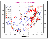
Oued Belifa: Lead Map
(Larger image - click here)

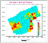
Ain Arar : Map of Arsenic
(Larger image - click here)

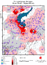
Strategic geochemical Map
1 / 50 000 - Region Kebouch
(Larger image - click here)
|


