|
The national territory is covered by two basic topographical scales. The first of which scales is 1/50000, which covers the north region, center and the coast with 128 breaks. The second scale covers the south region and corresponds to 55 breaks without taking into consideration the eastern erg, which is covered by sandy dunes.
The basic geological cartography has started with the geological survey of Kassrine n°84 in 1945.
Before the independence (1956), 16 maps in 1/50000 scale were drawn and published.
From 1956 to 1987, 30 maps were drawn. In 1969, the first basic geologic map was edited in Tunisia.
The launching of the south-, center-, and coast- cartography projects allowed the cartography of 55 maps in addition.
The cartography state is presented as follows :
|
Scale
1/50 000
|
Nb of topo. maps
|
Nb of fulfilled maps
|
Coverage rate
|
|
North
|
59
|
55
|
95%
|
|
Center
|
37
|
27
|
66%
|
|
Coast
|
32
|
20
|
60%
|
|
Total
|
128
|
102
|
80%
|
|
Scale 1/100 000
|
|
South
|
55
|
30
|
55%
|
|
Overall
|
183
|
132
|
70%
|
|
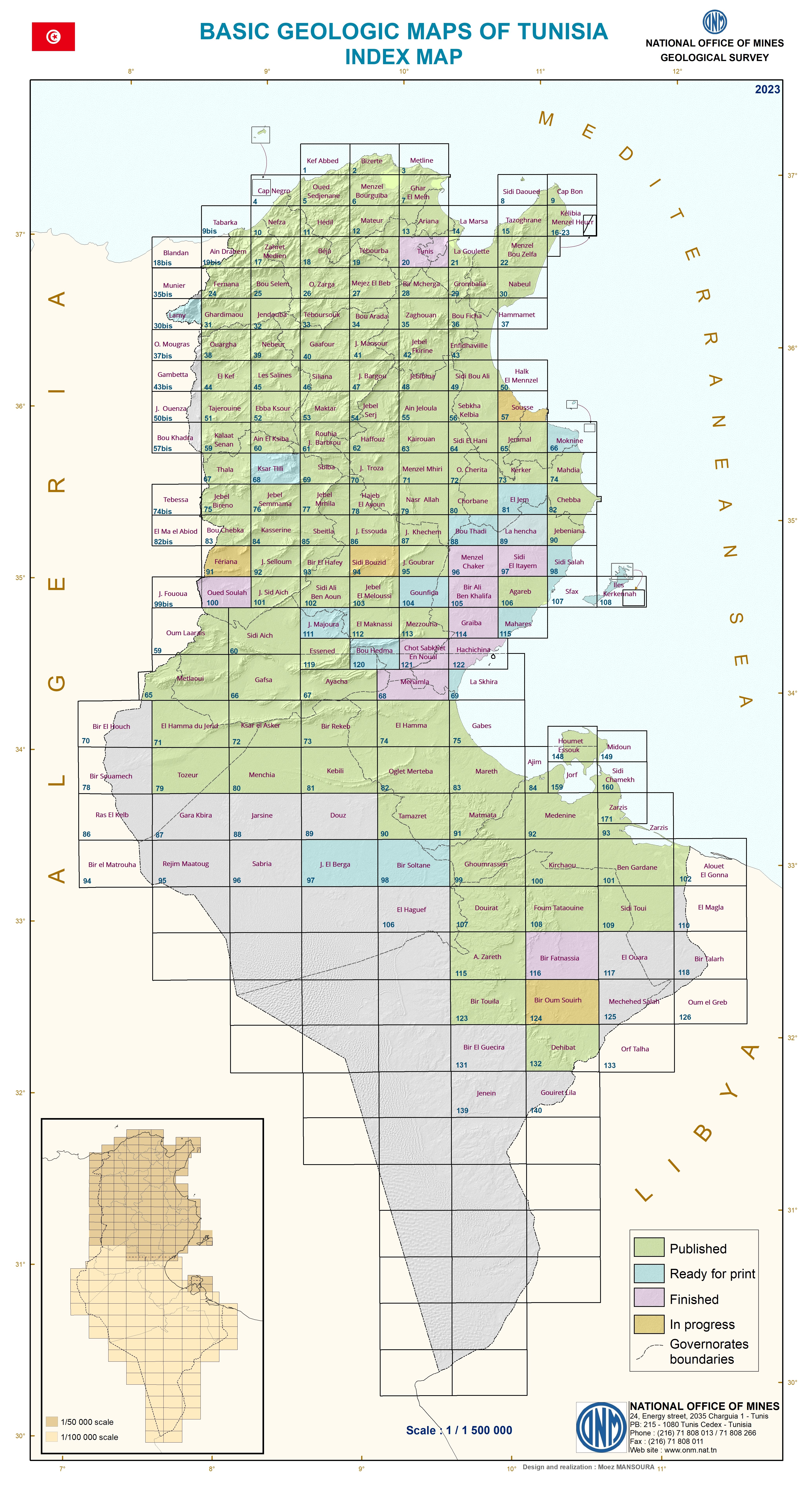
Compilation of basic geological maps
(Larger image - click here)
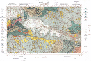
First geological map database
(Larger image - click here)
|